The New Lyke Wake Club
Lyke Wake Walk 31 July – 1 August 2019
Following a wet stormy 30 July, where Reeth & District flooded, I checked and assessed the weather would have eased in the East, with showers interlaced with clear periods on Wednesday 31st July and an improved day 1st August. Weather conditions were as expected, but very wet and windy at Blakey Ridge, Lion Inn. Set of from Cod Beck outside Osmotherly on 31 July, following the Cleveland Way east, just after the cattle grid. I was down to my T shirt through Clain Woods (1a) as it was so humid. Rain showers started just after crossing the ford at Hollin Hill (3).
Long haul up to the cairn (3b) started pouring down, and I was soaked well before the road crossing (4). Across road and a steep climb to complete before the view point looking down Dromonby Bank (I used to run up this from Dromonby Farm to the top when I worked there for Mr NF Seymour & Sons 1984 – 1985). Next leg was a long haul in the rain and wind from 4 – 5 with many steep ascents & descents; past the great Wainstones off Broughton Bank, crossing the B1257 (Great Broughton to Chop gate road).
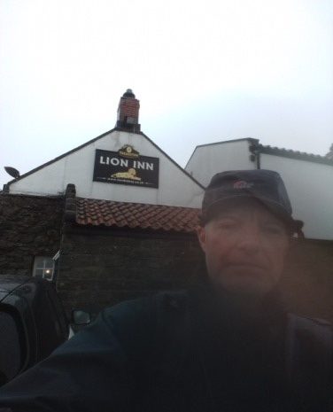
I was glad to reach a main way point; Bloworth rail crossing (Rosedale Ironstone Railway). At this point the 3 lads on the coast to coast which I had been chatting to were off in front of me, heading for the Lion Inn at Blakey and sanctuary. I keep following the old railway line with many left, right bends across Middle Head, Dale Head, Farndale Moor (feet taping session here in between rain, off the line embankment, which sorted out my hot spots), High Blakey Moor to the Lion Inn (7) (absolutely pouring down now). The 3 lads walking the coast to coast would hold up at the Lion Inn until tomorrows next leg; as they left me they said they would be thinking of me in the rain (ain’t banter great!).
My father noted he had done the walk with Reeth Fire brigade years before in hobnail boots (used to keep them in the pantry), complained about walking the railway sleepers.
From the Lion Inn to the North end of the wood at the top of Sturdy Bank (11) needs careful navving as the path is less succinct, but I headed for Dalehead Farm Tea Garden at Rosedale, across the valley and up the steep bank to the Northern end of the wood line. I then followed the disused Rosedale Ironstone Railway Line in an easterly direction for 100 metres, across the embankment and then headed due east, having to walk up from the railway line onto the moor. Trusted to my nav and I came to ‘Knott Road’ (12). From here navving is virtually due east across a wide expanse of moor. Eventually I came to moor road (N–S) not sure, so did a map & nav check.
I crossed the road from the metal moor road gate & followed the path SE from the metal gate, saw a sign Lyke Wake Walk 200mtrs, followed on & came to a sign ‘Turn Hill’ (on map after the fields in this location). I assess I was south of the Blue Manith Moss Standing Stone by about 500 metres having followed the path, but came across no standing stone. I assess I took the route through the North end of ‘Hartoft’ plantation, exiting on a view line with the Wheldale road & plantation in sight ahead. I crossed the beck below Wheldale Lodge (16), up the steep bank heading to the prominent ‘Tumulus’ on ‘Howl Moor’.
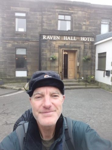
From the Tumulus I crossed open moor and descended to the NY moors railway & crossing point. Had to check nav at the other end as main road runs close to the path; crossed the road, at the turn & headed for the prominent track & gate at Eller Beck Bridge (17); there is an old hut at SE 864984 to the left. The path becomes less succinct, but I kept on an easterly bearing (1550), used the white posts as a guide, but did follow them fully as advised in the LWW guide. It was getting dark & the path was difficult to follow, sore right knee so I bashered up for a couple hours rest in the shadow of the Fylingdales EWS building to the south. Hard ground, howling wind but at least there was no rain. The following morning revealed I was only 200 metres off ‘Lilla Cross’ and from here the route was prominent, fairly straight forward (still heading east). The morning was foggy & dark. From Lilla Cross (18) to Jugger Howe Beck (19) is long, but with a well marked path, steep descent on slippy stones. From Jugger Howe Beck there is a steep climb to the A174 (Scarborough – Whitby road). I crossed this then up the long slope, well formed path to the trig point & radio mast. I followed the path eastward down to the Raven Hall Hotel, Ravenscar and the finish, 20 hours, but in adverse conditions.
I asked a lady who was walking her dog about busses then made my way to the Ravenscar Tea Rooms for some sustenance. Old abandoned railway line here is now used for walking and cycling; the station hotel is now the tea rooms & Bed & Breakfast. Had a chat to the bin men and wrote in the LWW book; first one!
I got the local bus (only 2 per day) to Scarborough, then a train to Northallerton via York, then bus from Northallerton to Osmotherly (No.89 to Stokesley), walked back to Cod beck & picked up the car.
Robert Allinson


