Hi Gerry,
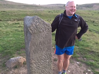
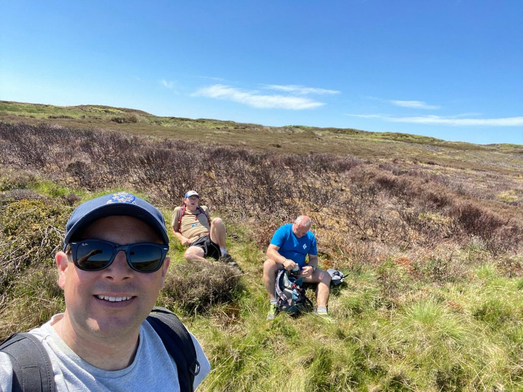
Just a quick note to say that we (Andrew Aitken, Joe Chester and Mark Hodgson all of York) enjoyed a great socially distanced crossing in the sunshine this week.
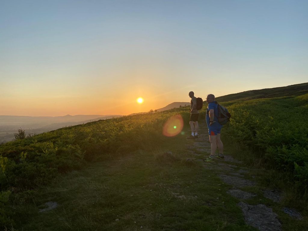
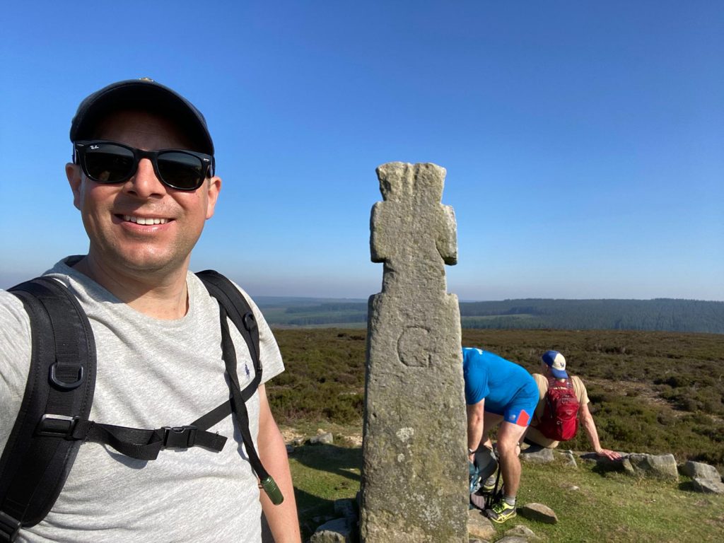
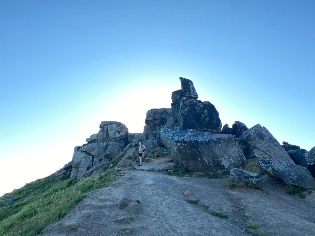
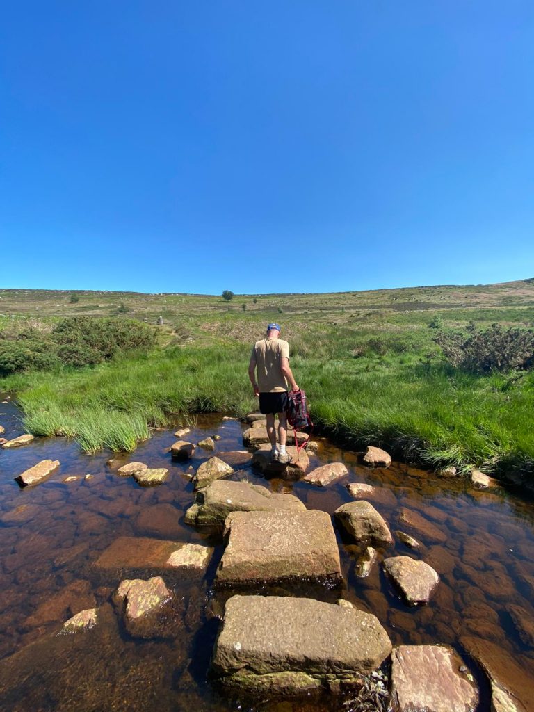
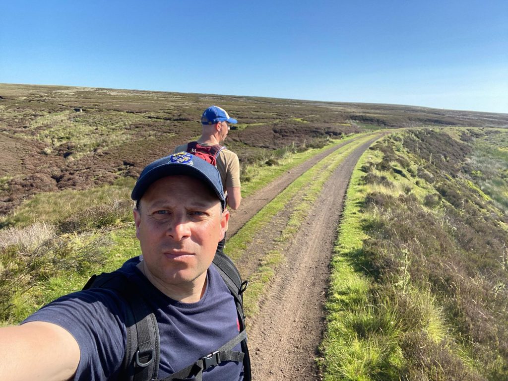
First time for Joe and I but Mark is now well into double digits. It was hot but the views were well worth the heat including one adder sighting. Crossing time was about 13 and a half hours. We saw very few people along the way and the only other person who said they were doing the walk was just coming down from Ravenscar in the opposite direction, starting as we were finishing.
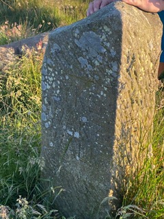
I’ve attached a few photos.
Thanks, Andrew.
Archive for June, 2020
Midsummer Lyke Wake Crossing.
Saturday, June 27th, 2020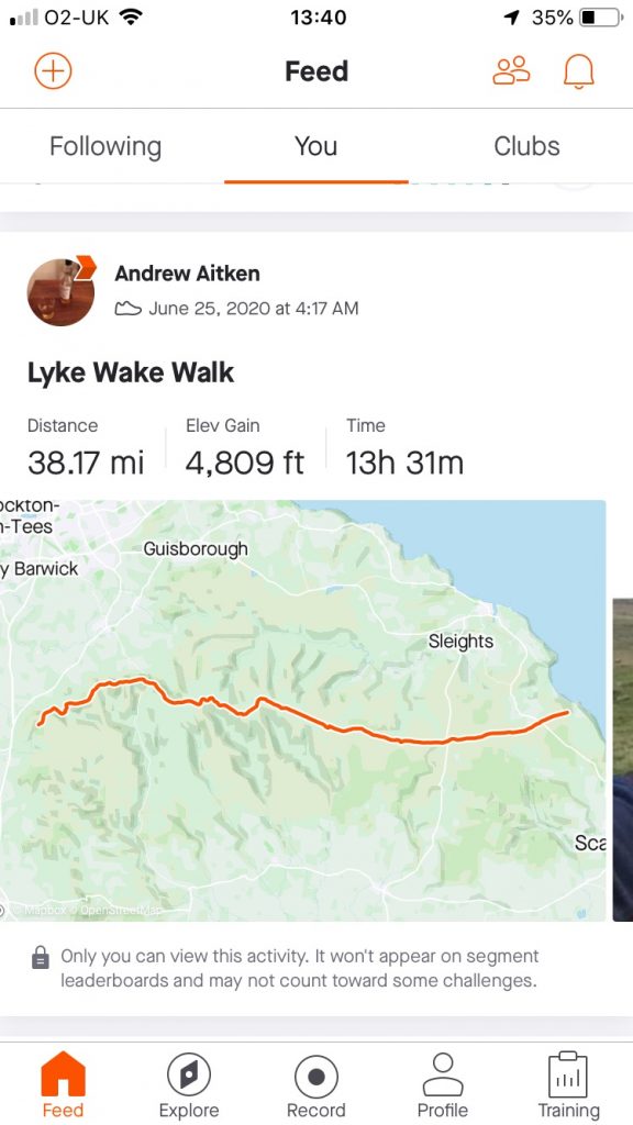
Lyke Wake Path Enhancements
Friday, June 19th, 2020Tom Chapman, after his recent Post Covid-19 crossing, compiled the useful information below.
Thanks Tom.
Following a recent crossing, I thought I would put together a list of path enhancements and alterations that have happened over the past few years. The intention here isn’t to comment on whether things have changed for better or for worse, but simply to raise awareness of changes. I find it quite incredible that on some of the remotest parts of the walk where I never encounter anyone, there is some land management going on. So without further ado here are some details I have noticed, starting west and working eastwards –
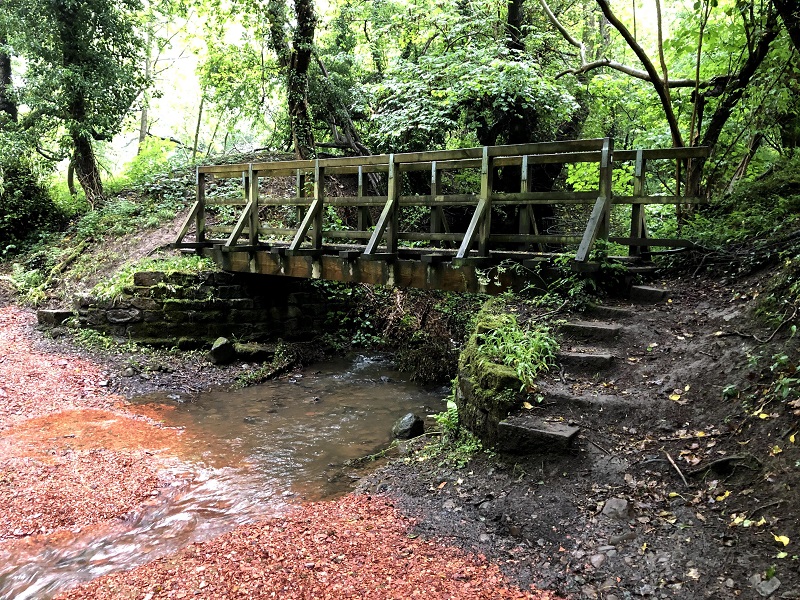
Scugdale Beck – there is some new gravel either side of the Beck, alongside the footbridge across the Beck. I have to say it is an odd choice of materials as the reddish stone used does not look native to the area? Maybe someone can set me right! I am assuming this has been laid to permit better access between field and farm for vehicles and livestock. The bridge itself is looking magnificent, thanks to the endeavours of the Lyke Wake Club team that is responsible for this section of Cleveland Way Maintenance. See this link for more information: http://lykewake.org/adoption.php
Broughton Plantation – anyone who has not visited this path for a few years will be astounded at the lack of trees between Hasty Bank and Clay Bank as most of them have been felled through ongoing forestry work in the area. One side-effect is that the footpath down towards the steps to Clay Bank has been smoothed over, and is now a good walkable path instead of the tangled mess of boulders and roots that it was a short while ago.
Path from the Railway Track to Flat Howe – not so much to report here other than the path appears to have become more popular and therefore is easier to follow than it was a few years back. There is an obvious sign at the start of the path, saying that this is not a Bridleway.
Rosedale Moor – It looks like some conservation work has started here. Between the marshy section and the beck before the climb up to Shunner Howe, bales of wool have been rolled and placed across the peat path, presumably to reduce erosion.
Stape Road – this is a very minor improvement but this has caused me wet feet on many occasions! Just as you step off the moorland onto the road, there used to be a very wet metre or so. This has been concreted over. I have seen recent work building a farm track on Wheeldale Moor to the south of the usual Lyke Wake route so I am assuming this concrete is to benefit farm or land management vehicles.
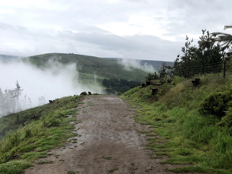
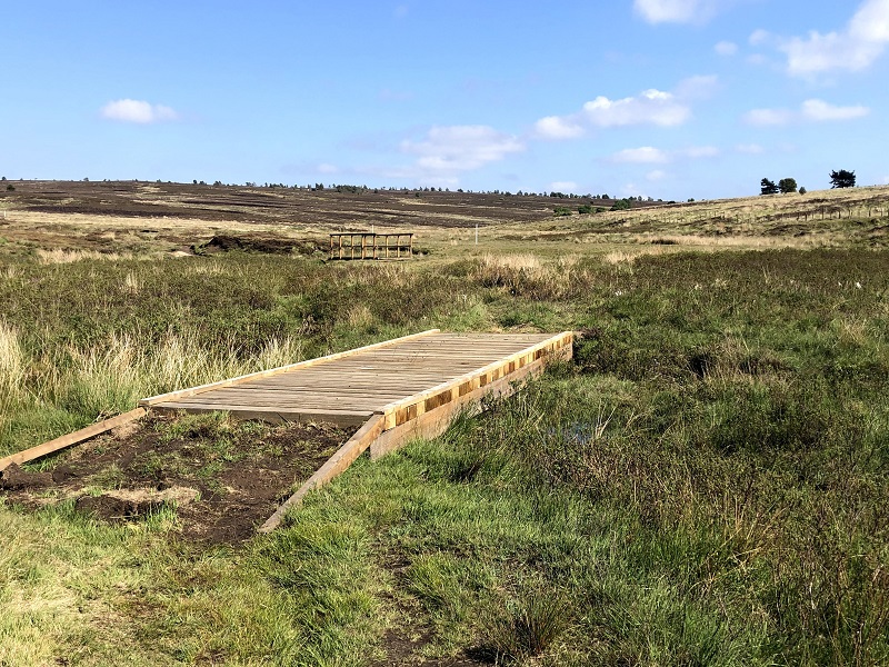
Fen Bogs to A169 – this rather worn and rutted path has been resurfaced as per the photo above, and drainage channels have been put in place.
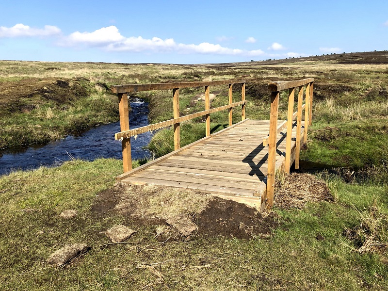
Little Eller Beck – a source of controversy here – two new footbridges have been put in place at the point where the path starts to head uphill towards Lilla Cross. Purists can be reassured that hopping the Beck is still an option!
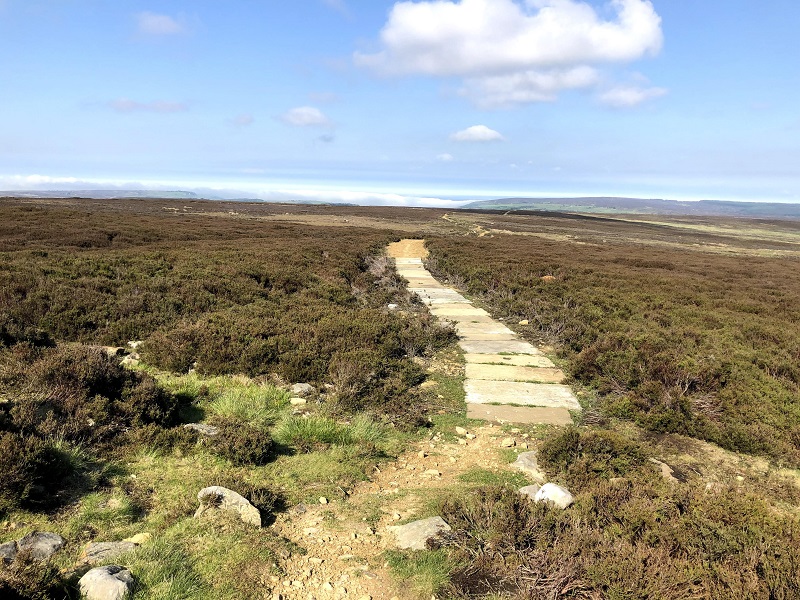
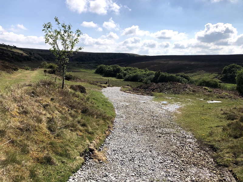
Lilla Cross to Jugger Howe – immediately before and after Lilla Cross there have been significant improvements to the path, with a gravel track leading to slabs either side of the Cross itself. This path seems to be a work in progress as the stones used around Burn Howe are very rough underfoot as of June 2020. There seems to have been very recent work on drainage ditches either side of the path so I can only assume this will be a temporary situation.
I think that is all for now, but it just goes to show how this is still very much a working landscape with no doubt more changes to come over the next few years.